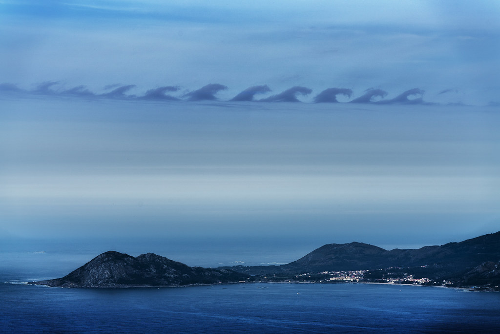
A giant underwater wave, known as a Kelvin wave, is moving up the west coast of the Americas, linked to this year's El Niño weather pattern. The wave, detected off the coast of British Columbia, is described by scientists as potentially the strongest El Niño event ever recorded.
The Kelvin wave is part of the oceanic response to the El Niño phenomenon, which involves the warming of sea surface temperatures in the central and eastern Pacific. This particular wave is carrying warm water toward the Americas, which could intensify weather patterns across the region. Scientists are closely monitoring its progress, as it may lead to increased rainfall in some areas and drought in others.
El Niño events occur every few years and can have significant impacts on global weather systems. This year's event is being closely studied due to its potential strength, which may be influenced by ongoing climate change. The Kelvin wave's movement is a key indicator of how El Niño develops and evolves, providing valuable data for climate models and weather forecasts.
The wave's path through the Pacific and into the waters near British Columbia highlights the interconnected nature of oceanic and atmospheric systems. As it continues its journey, its effects could be felt across the Pacific Rim, affecting agriculture, water resources, and weather patterns in multiple countries. Scientists are urging continued observation to better understand its full impact.